
Advanced mapping, spatial analytics and location intelligence for better decisions — visualize, analyze and act on the data that shapes your jurisdiction.
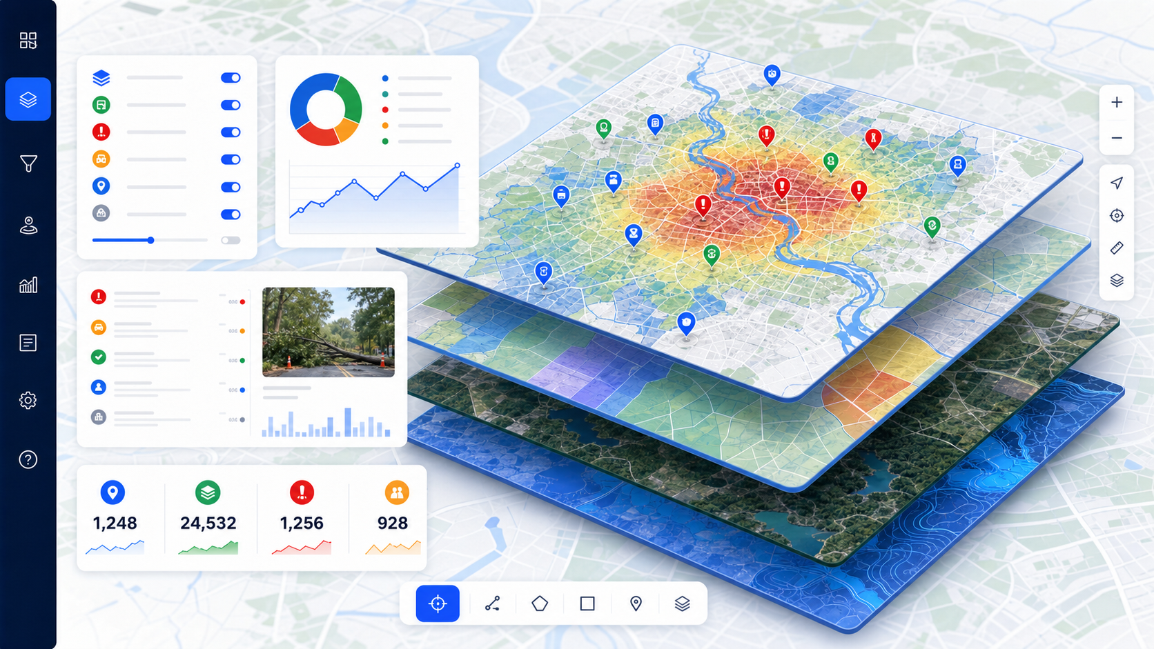
Combine spatial data with powerful analytics to plan, monitor and manage resources, assets and services. From land administration to incident response, our GIS platforms turn maps into decisions.
A complete geospatial toolkit for planning and operations.
Responsive interactive maps with custom basemaps, layers and offline field support.
Hotspot, density, proximity and suitability analysis to surface patterns and risk.
Parcel management, land administration and valuation support for counties and registries.
Mobile forms and GPS capture to keep your spatial datasets accurate and current.
Satellite & drone imagery analysis for land use, agriculture and change detection.
OGC-compliant services (WMS/WFS) that integrate with your enterprise systems.
See how location intelligence can transform your planning and service delivery.